Monday 22 June 2020
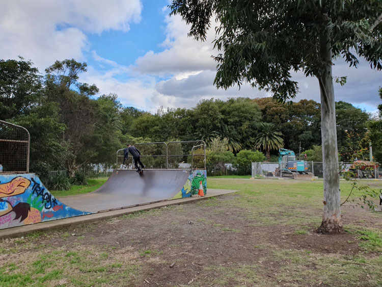
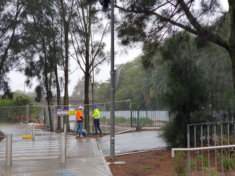
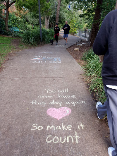
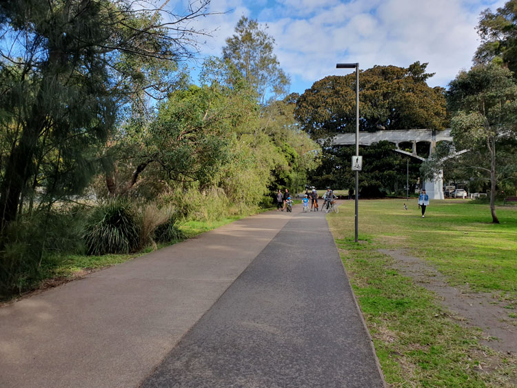
For this last journey along Johnstons Creek we take a path not far from Tramsheds, but on the opposite side of the canal. To follow the concrete line of the canal towards Rozelle Bay, we begin beside a skate ramp and an assembly of earth movers standing by to work on Sydney Water’s ‘naturalisation’ project.
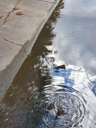
Not far along the sandy path I am surprised to see a reed-fringed pond with a signboard, ‘Federal Park Wetland’. The sky to the north is threatening, but above us there are blue patches and their reflections match the colour of the pet supplies barn beyond the trees. Overflow from the pond empties into two basins and, on the other side of the path, we see that it has run underneath us to the canal.
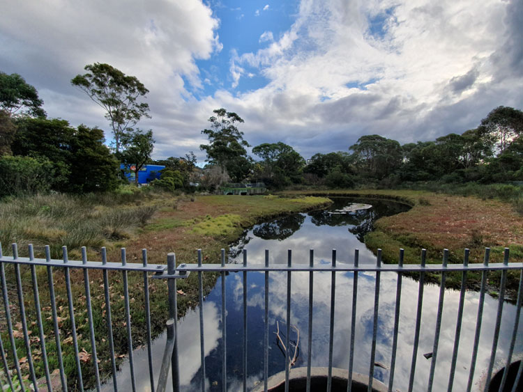
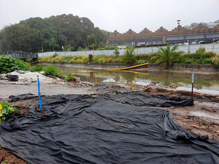
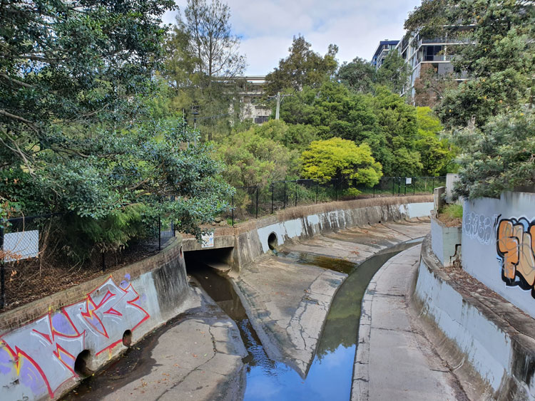
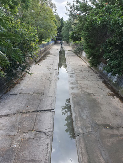
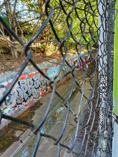
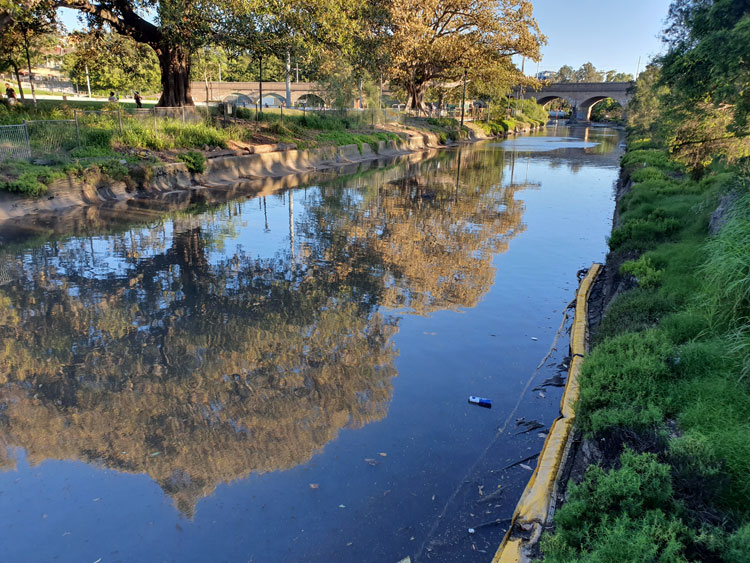
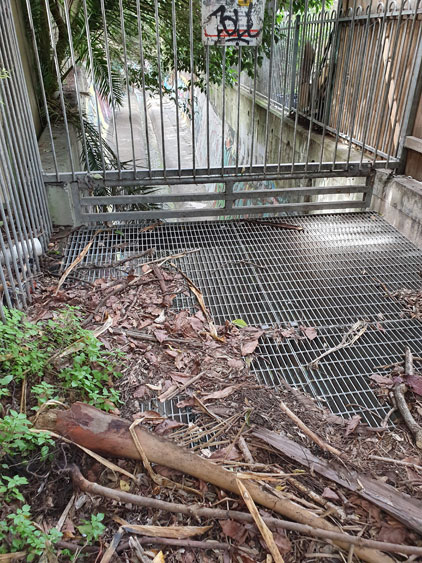
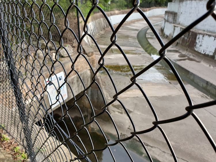
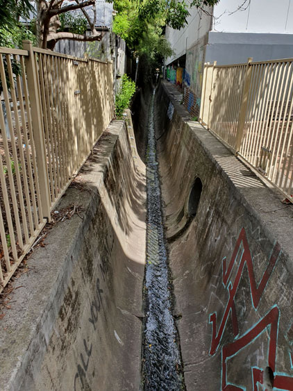
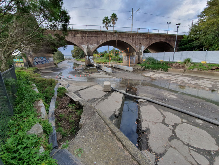
The tide is out, or perhaps it was prevented from coming in. The canal is dishevelled, strewn with pipes, barricades and building site paraphernalia. Water pumped from somewhere upstream pours from a large black hose. This scene is so different from the almost-idyllic autumnal waterway that we looked back on from the sunny Glebe foreshore in April.
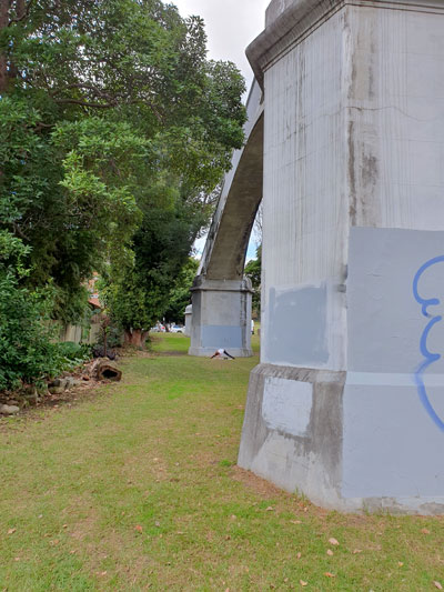
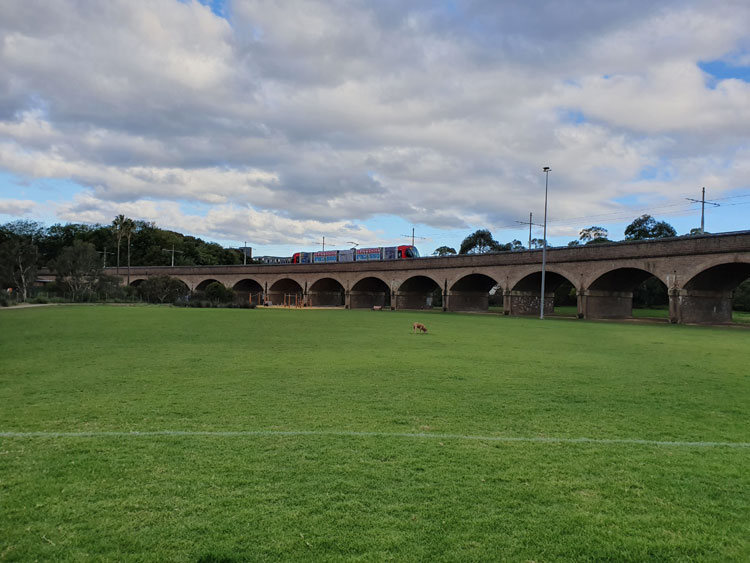
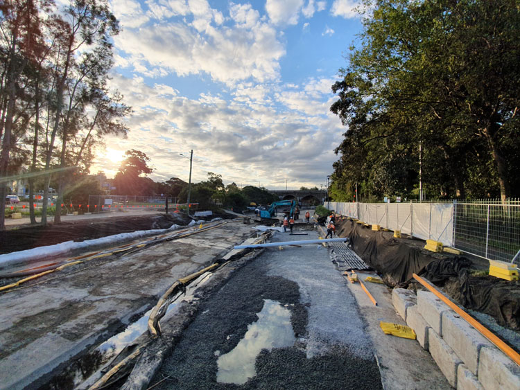
The rail viaduct is the next landmark. Built to carry steam trains taking goods to and from Darling Harbour, it has since been modified with overhead electric wires for the Metro light rail. From where Federal Park has widened out into a grassy but soggy playing field we can look back and admire its elegant curve and graceful brick arches.
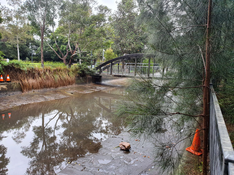
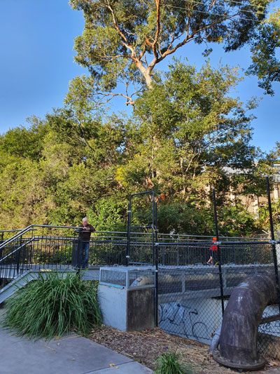
Further on, after stepping along a temporary plastic path between safety fences, we arrive at the feted and recreated Allan Truss Bridge. This is the spot where we abandoned our foreshore outing in April, which means we have completed our piecemeal exploration of Johnstons Creek proper, from drain to bay. Over the weeks we have encountered twelve bridges across the canal, passed under two mighty viaducts, and walked over countless hidden feeder pipes and drains.
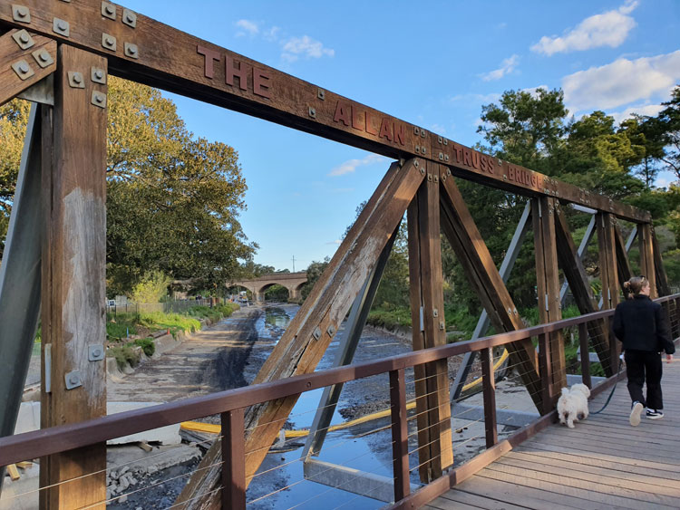
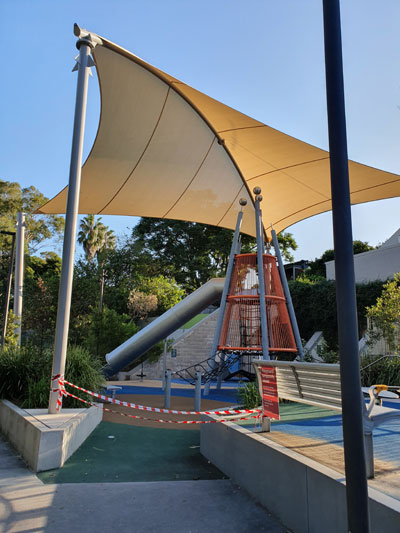
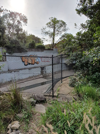
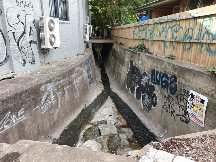
The characteristic salty-muddy smell of a tidal flat accompanies us as we cross the truss bridge. On the other side a large section of Bicentennial Park has also become a reconstruction site, where hard hats must be worn and 1.5 metre distancing observed.
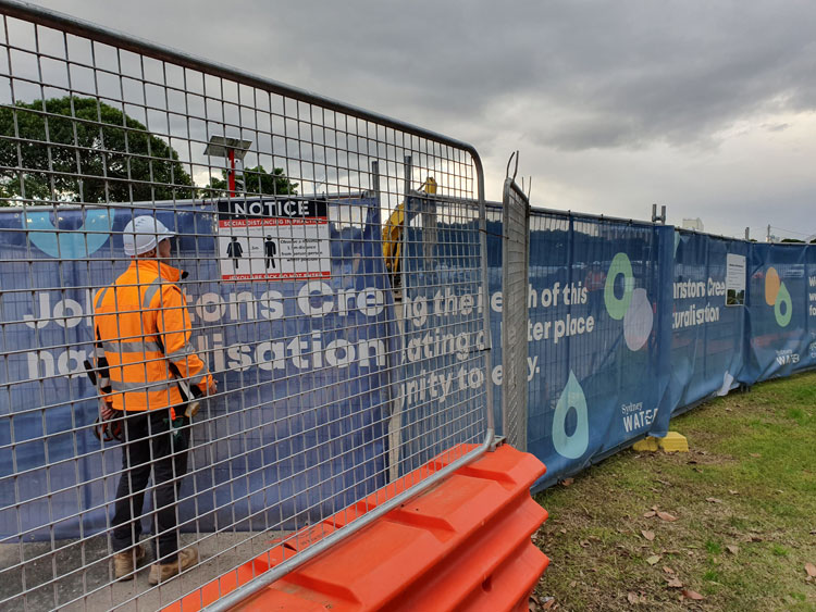
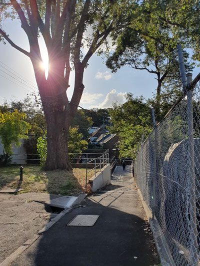
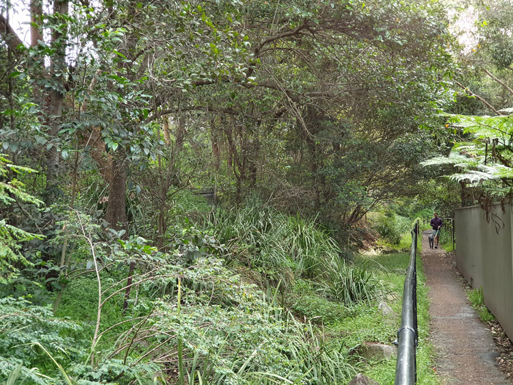
We now return to where we started today, this time taking a route along the eastern side of the canal between more wire safety fences and the trim white picket fence of Jubilee Oval.
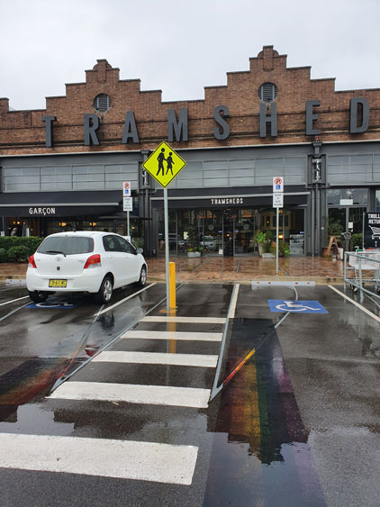
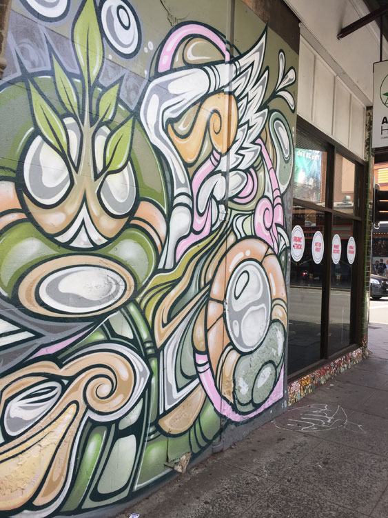
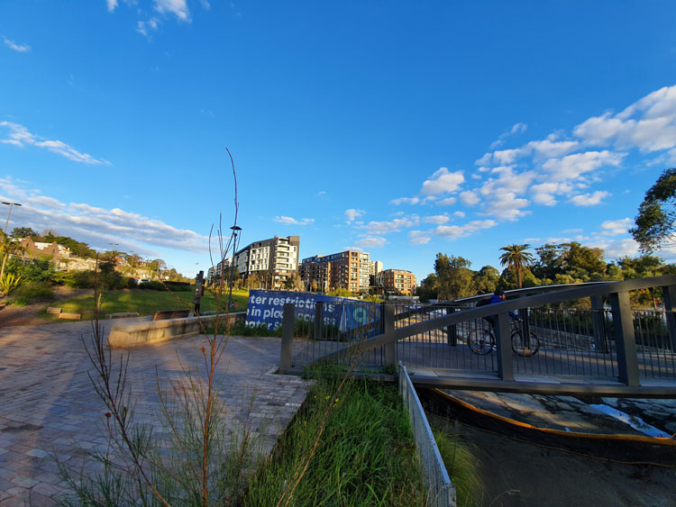
Back at the two bridges that cross from The Crescent in Annandale to Harold Park and the Tramsheds food mall in Forest Lodge, I look upstream towards the vast residential development that has replaced the Harold Park Paceway. Before embarking on this last Johnstons Creek excursion I have done some reading and I now realise that this whole area is a broad, flat valley. Although there are acres of open space, nothing is orginal. Not the concrete-confined creek, nor the planted reed beds and grassy slopes in front of me. Behind me, not the little wetland, the tidy playing fields and parks, the Indian mynahs splashing in the canal, nor the neatly walled edges of Rozelle Bay. Not even the trees.
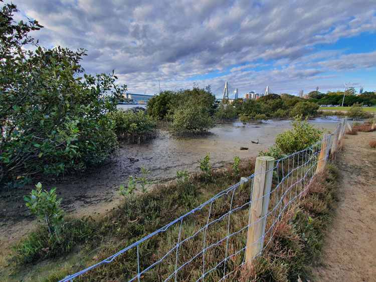
In this valley Johnstons Creek once stretched out as a wide estuarine wetland with tidal mudflats and mangrove thickets, but in the 19th century the valley was filled with spoil from elsewhere in the curiously misnamed process of reclamation.
Over the generations since then, various organisations and departments have argued and compromised and acted to shape the land to their various needs and wants – grassy parklands and avenues of trees, factory sites, warehouses, timberyards, tramyards and a racecourse. Similar wrangling has characterised more recent efforts to restore fragments of the ‘reclaimed’ valley to a semblance of its former self.
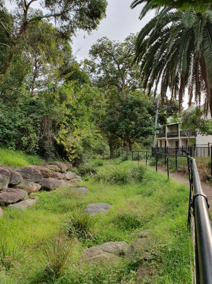
So we have reed beds adjacent to a high-rise development, an artificial wetland fed by real runoff, newly planted patches of native vegetation (some already infiltrated by exotic weeds), and a corner of mangroves in an area small enough that it doesn’t encroach on open space. The latest change is Sydney Water’s grand naturalisation project which includes, among other things, replacing the concrete banks of the canal with sandstone and native plants, and expanding the salt marsh around it. The City of Sydney’s concurrent scheme to improve The Crescent and Federal Park will feature less natural works, like a skate plaza and picnic areas with barbecues.
During my walking and reading explorations I have been disappointed not to find specific references to pre-20th century Aboriginal people who might have frequented the immediate environs of Johnstons Creek. Recently written descriptions and histories of the surrounding suburbs usually begin with the obligatory generalised nod to the Cadigal and Wangal people of this area before getting on with the ‘real’ history. But even in serious accounts I have found no mentions of these people that can be pinned specifically to Johnstons Creek, nor can I find any stories handed down through generations, or contemporaneous mentions of Aboriginal people being seen here, or any records of archaeological discoveries.
It stands to reason. The region now covered by the suburbs of Stanmore, Camperdown, Annandale and Forest Lodge was very close to the original colonial settlement of Sydney, so even before the very early land grants were made here, most Aboriginal people had probably gone. During the subsequent periods of farming, subdivision and urbanisation, any traces of the original people would have been dug up, buried, built over or wilfully ignored.
Still, there is enough evidence from nearby or similar areas to suggest how these people lived. They might have hunted in what the colonists called the ‘Kangaroo Ground’ where Johnstons Creek rose. The might have accessed its fresh water. They would have probably frequented the sandstone ridges of now-suburban Glebe overlooking the estuarine valley, staying in overhangs like the rock shelters with associated middens that have been found not so far away in Lilyfield and Birchgrove.
They would not have lived in the watery valley but almost certainly foraged there, just as people did in the long-ago ‘reclaimed’ Blackwattle Bay on the other side of Glebe Point, where archaeologists have recently uncovered several deposits of stone artefacts. Glebe historian Max Solling says there is ‘some evidence of Aboriginal middens – the remains of shellfish – in the narrow strip of remnant salt marsh fringing the lower parts of Johnstons Creek. The ark cockle, scallop and Sydney rock oyster and mud whelk found there indicate that this was a fertile swamp and a rich source of food for the first inhabitants’.
As this stage of my Covid-19 isolation project comes to an end social restrictions in New South Wales have been eased. I am not sure that I could muster the number of friends I am allowed to mingle with, but later in the week we are having lunch with two friends. They are volunteers with the State Emergency Service and so are interested in previous waterways and potential flood zones. Perhaps we will talk about the buried tributaries of Johnstons Creek that I have yet to explore. I want to hear more of their stories about local streets that turn into torrents, and basement pumps, and flooded police cells.
References:
Attenbrow, Val, Sydney’s Aboriginal past: investigating the archaeological and historical records, UNSW Press, 2010.
City of Sydney, Improving Federal Park and The Crescent,
https://www.cityofsydney.nsw.gov.au/vision/better-infrastructure/parks-and-playgrounds/current-works/improving-crescent-federal-park
Irish, Paul, Hidden in plain view: the Aboriginal people of coastal Sydney, NewSouth Publishing , 2017.
Irish, Paul and Tamika Goward, Barani: Sydney’s Aboriginal history/ Blackwattle Creek,
https://www.sydneybarani.com.au/sites/blackwattle-creek/
Office of Environment & Heritage, Glebe viaducts (Jubilee Park/Wentworth Park),
https://www.environment.nsw.gov.au/heritageapp/ViewHeritageItemDetails.aspx?ID=4801104
Sydney Motorway Corporation, The People’s M4/M5 EIS, Chapter 21: Aboriginal heritage, 21.2 Existing environment,
https://thepeopleseis.wordpress.com/chapter-21-aboriginal-heritage-2/
Sydney Water, Johnstons Creek naturalisation,
https://www.sydneywatertalk.com.au/johnstonscreek
Wahlquist, Asa, The foreshores of Glebe,
http://asawahlquist.com/?p=341