Friday 10 April 2020
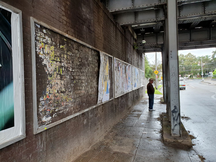
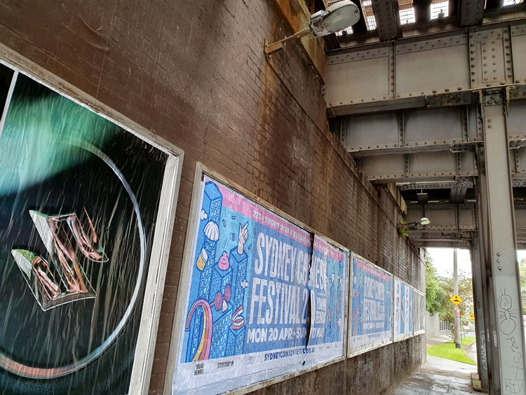
It is raining lightly and the urban currawongs are going joyously berserk as we set off. Having visited the mouth of Johnstons Creek we are now looking closer to home for its source, guided by an 1887 map of Sydney suburbs. We begin at the railway underpass in Liberty Street, Enmore, with its shredded posters. The Man Who Walks Ahead watches two bill posters posting on the opposite wall.
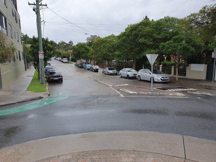
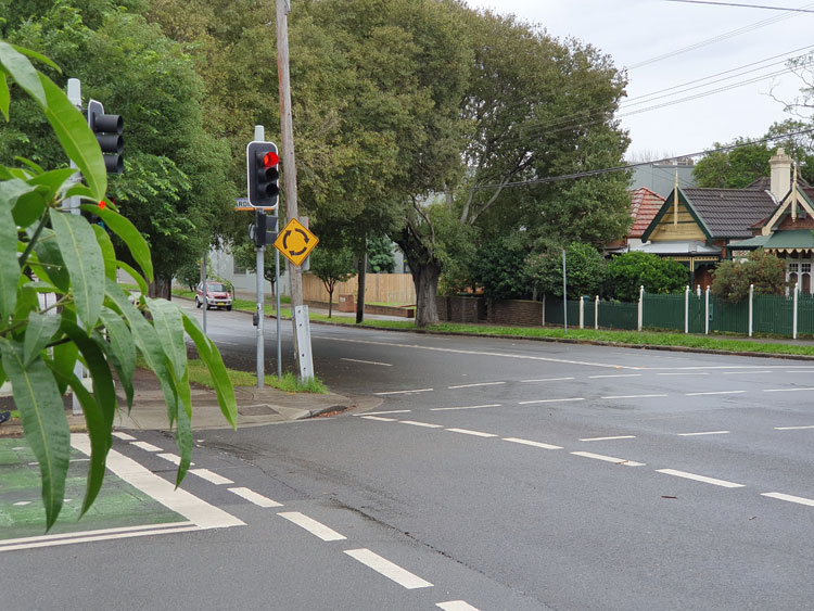
Crossing to the nearby roundabout I can see the spot that the map indicates as the beginning of the creek. It’s in a dip of what must have been a soggy paddock but is now Railway Avenue.
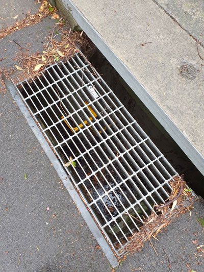
Tracing the creek from its source now becomes a matter of following the lie of the land and peering down grates in the roads to deep stormwater drains with yellow ladder rungs and sky glinting off water at the bottom.
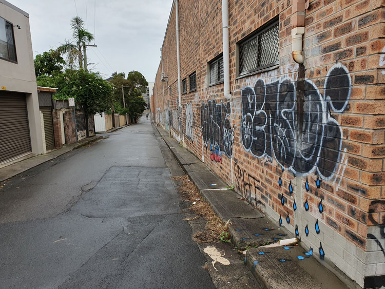
We come to a corner where we can look down Salisbury Road. In the dip there is the paling fence that screens off Johnstons Creek where it modestly emerges from underground and continues its journey cosseted by an open air canal. But we have been there before so instead turn up the hill to imagine how rainwater runs above and below ground down towards the concrete creek. In a back lane a piece of wall-and-pavement graffiti helpfully depicts this process for us.
We get suspicious glances from people sipping at paper cups while accompanying their raincoated children out for a scooter ride. At the end of the lane is a little café where customers queue obediently for their permitted take-way coffee.
Our long walk has taken us through corner country where four suburbs meet. As we circle back to our starting point we find that those bill posters have renovated both sides of the underpass.