Another lockdown. A new walking project. I’m still fixated on Johnstons Creek, but this time I’m following the rim of its catchment area, a route that will take me along the ridges of Petersham, Stanmore and Annandale. And that is as far as I will get while restricted to my local government area.
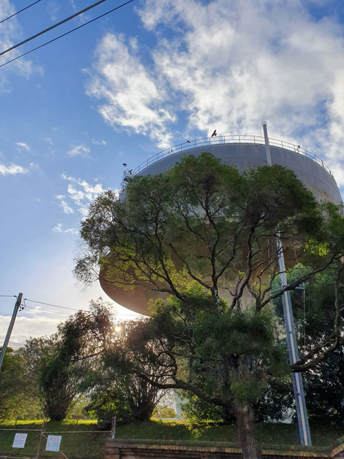
I begin at the highest point west of the Sydney CBD before the Blue Mountains. You might call it Sydney’s upper inner west. It’s right where the landmark Petersham Water Tower is poised – this heritage-listed, concrete engineering marvel. This afternoon a group of currawongs is enjoying the rim of the tower and its updrafts.
Using Sydney Water’s stormwater catchment map, detailed down to individual blocks of land and house numbers, I head north along Crystal Street, stopping to turn around and photograph a relic of traffic signs past. It’s a ‘SLOW’ warning written in metal studs on the concrete. I manage to photograph it (not for the first time) during a traffic light-induced gap between vehicles.

Where Crystal Street crosses the railway line I am still on high ground. From the bridge you are supposed to be able to tell if it is snowing in Oberon, on the other side of the Blue Mountains. My friend who lives there says I should look for a green cloud. Today there is no faraway green cloud but I do catch late afternoon shafts of light.

The perimeter of the Johnstons Creek catchment area, as it is indicated on the Sydney Water map, is sometimes curved in places where old roads have followed natural ridges. But more often it becomes a series of straight lines at angles to each other, where streets have been laid out in a grid that disregards topography. In those places the map outline fudges the lie of the land in order to conform to the alignment of streets, lanes, buildings or water pipes.
I turn east off Crystal Street but come to a point where the map line darts between two houses. Since I can’t walk through people’s property (nor am I physically able to climb over back fences) I must backtrack and walk all the way round to meet the imaginary line in the next street parallel. I can see that this is going to happen over and over again on my series of excursions.
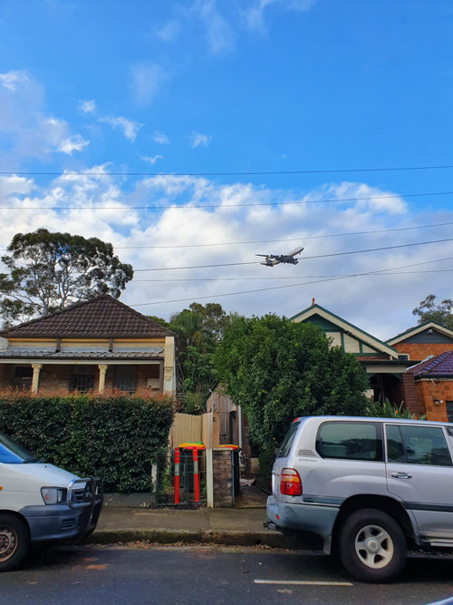
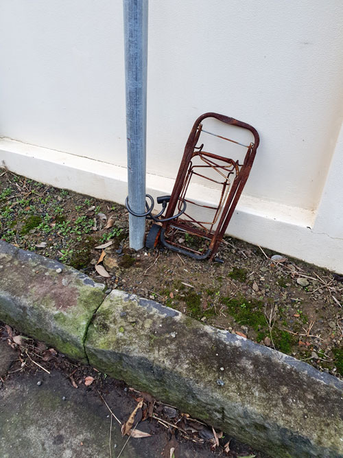
The last part of today’s trip takes me through some disappointing back lanes. In this neat part of Petersham there are wheelie bins in the lanes but no piles of discarded junk for me to cast my eye over, only the occasional mystery abandonment. It is starting to rain and I turn back.
Monday 28 June 2021